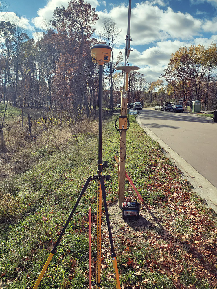
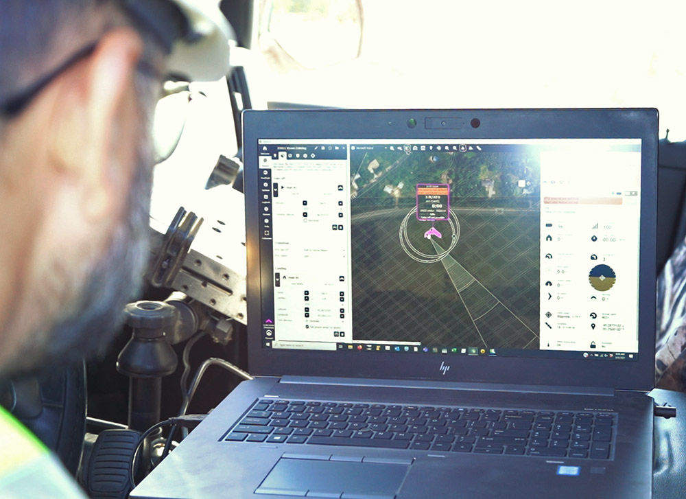
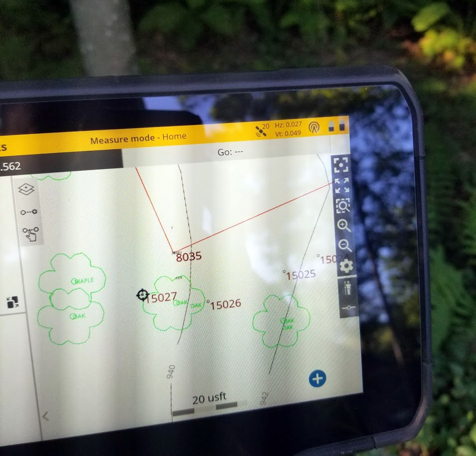
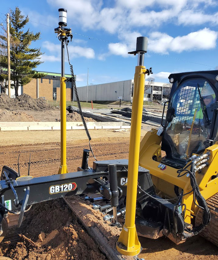
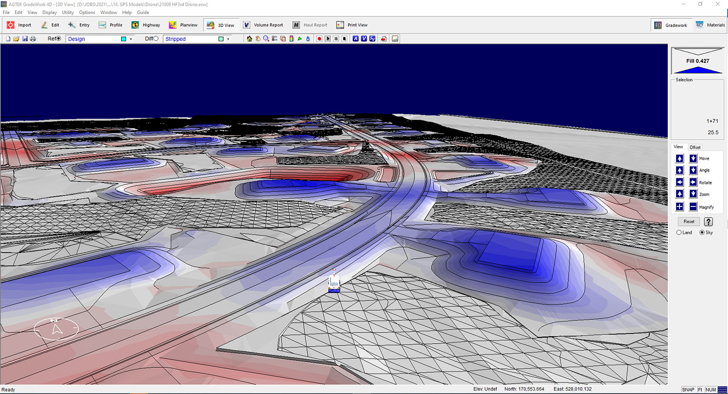
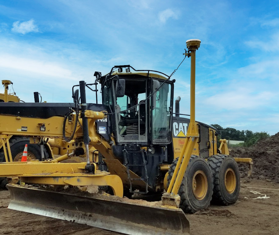
At Park Construction, our GPS work, 3D modeling, and surveying is lead by our civil engineering division. All of our GPS equipment is connected to the cloud using Trimble Works Manager. We are able to transfer all of our inhouse 3D models to machines and rovers in the matter of seconds.
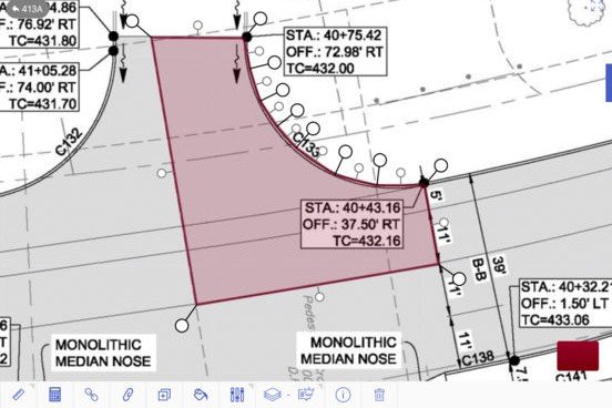
Our models are not just Finish Grade, we create subgrade, gravel, footing subgrade, soil corrections, pipe trenches, bedding, riprap, etc to ensure that the operators are always building to the correct grade. All data collected in the field can be sent remotely back to the office for quantity calculations and for design purposes.
Each new project begins with creating requests for site specific survey control point locations and electronic file data. Field staff performs site calibrations and site topo’s for every project. Our 3D models are built with extreme accuracy to ensure that what is getting built in the field matches the Construction Plan sets and allows our field GPS teams build the sites efficiently and accurately.
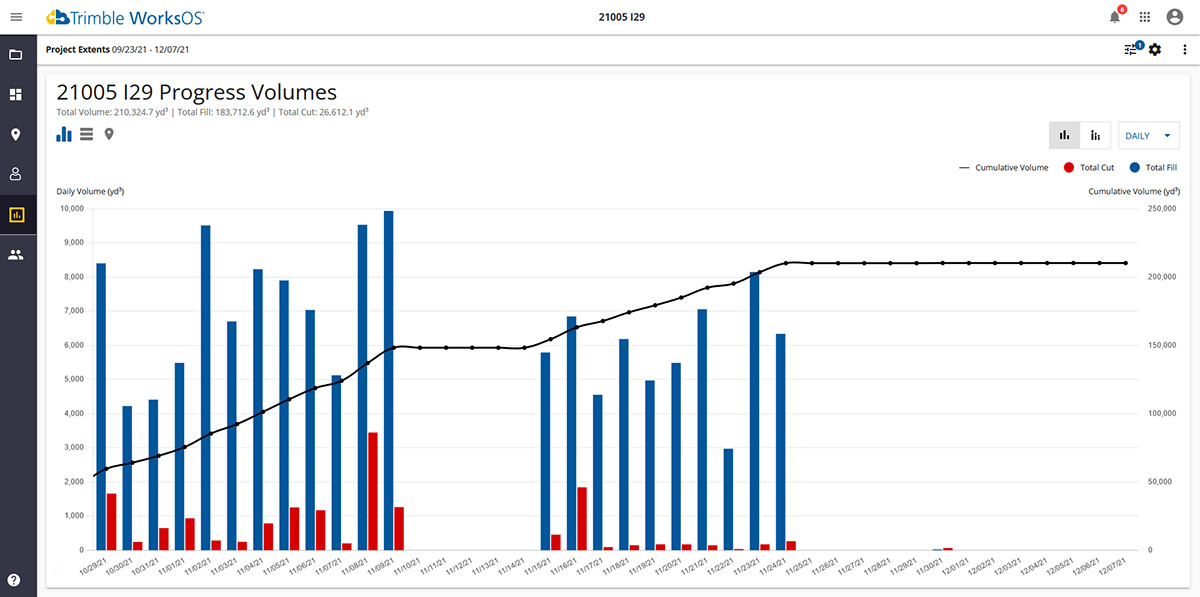
New in 2021, Park started using Trimble WorksOS. This is a jobsite monitoring solution that allows the office and site managers to track real-time progress using our connected GPS fleet that monitors the amount of earthwork being moved. This will allow us to troubleshoot issues daily instead of finding out months later that productions were not being met.
